Where is Culpeper County, Virginia?
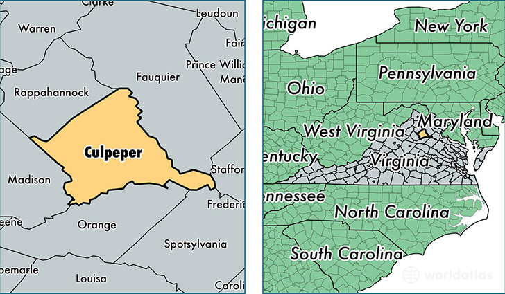
Culpeper County is a county equivalent area found in Virginia, USA. The county government of Culpeper is found in the county seat of Culpeper.
With a total 990.78 sq. km of land and water area, Culpeper County, Virginia is the 2654th largest county equivalent area in the United States. Home to 49,166 people, Culpeper County has a total 17917 households earning 64423 on average per year.
Culpeper County, Virginia - Quick Facts
| FIPS Code | 51047 |
| Area Codes | 540 |
| Time Zone | EST |
| Major Cities | Culpeper (population: 32,244), Amissville (population: 5,248), Rixeyville (population: 3,012), Jeffersonton (population: 2,341), Reva (population: 2,305), Rapidan (population: 1,503), Boston (population: 1,438), Mitchells (population: 1,373), Brandy Station (population: 1,158), Lignum (population: 796) |
| Land Area | 18,983 sq miles |
| Water Area | 379 sq miles |
| Household Income | $64,423 |
| Housing Units | 17,917 |
| Median Home Value | $250,600 |
| High School Grads | 84% of population |
| Holders of Bachelors Degrees | 23% of population |
| Retail Spending | $11,972 per capita |
| Food & Accomodation Sales | $45,329 per capita |
| Universities and Colleges | Culpeper Cosmetology Training Center |
This page was last updated on June 30, 2016.