Where is Louisa County, Virginia?
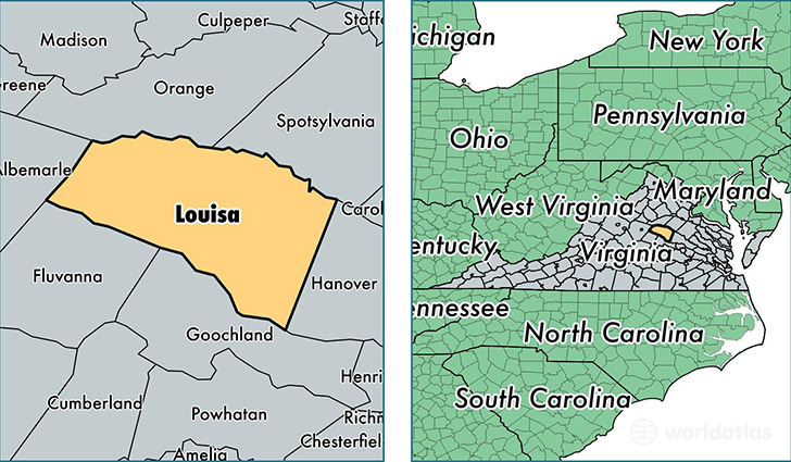
Louisa County is a county equivalent area found in Virginia, USA. The county government of Louisa is found in the county seat of Louisa.
With a total 1,323.15 sq. km of land and water area, Louisa County, Virginia is the 2134th largest county equivalent area in the United States. Home to 34,348 people, Louisa County has a total 16603 households earning 54518 on average per year.
Louisa County, Virginia - Quick Facts
| FIPS Code | 51109 |
| Area Codes | 540 |
| Time Zone | EST |
| Major Cities | Louisa (population: 12,781), Mineral (population: 9,235), Bumpass (population: 8,209) |
| Land Area | 13,262 sq miles |
| Water Area | 496 sq miles |
| Household Income | $54,518 |
| Housing Units | 16,603 |
| Median Home Value | $197,700 |
| High School Grads | 83% of population |
| Holders of Bachelors Degrees | 19% of population |
| Retail Spending | $4,840 per capita |
| Food & Accomodation Sales | $13,861 per capita |
This page was last updated on June 30, 2016.