Where is Madison County, Virginia?
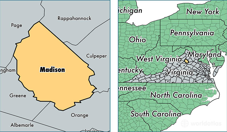
Madison County is a county equivalent area found in Virginia, USA. The county government of Madison is found in the county seat of Madison.
With a total 833.65 sq. km of land and water area, Madison County, Virginia is the 2802nd largest county equivalent area in the United States. Home to 13,157 people, Madison County has a total 5972 households earning 53459 on average per year.
Madison County, Virginia - Quick Facts
| FIPS Code | 51113 |
| Area Codes | 540 |
| Time Zone | EST |
| Major Cities | Madison (population: 5,501), Rochelle (population: 1,139), Brightwood (population: 1,073), Aroda (population: 866), Etlan (population: 391), Locust Dale (population: 302), Haywood (population: 270), Syria (population: 202), Radiant (population: 189), Pratts (population: 137) |
| Land Area | 5,080 sq miles |
| Water Area | 321 sq miles |
| Household Income | $53,459 |
| Housing Units | 5,972 |
| Median Home Value | $240,900 |
| High School Grads | 80% of population |
| Holders of Bachelors Degrees | 22% of population |
| Retail Spending | $8,245 per capita |
| Food & Accomodation Sales | $10,056 per capita |
This page was last updated on June 30, 2016.