Where is Pittsylvania County, Virginia?
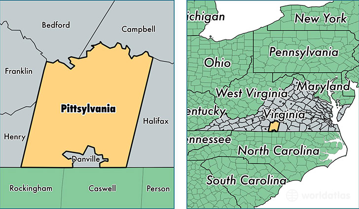
Pittsylvania County is a county equivalent area found in Virginia, USA. The county government of Pittsylvania is found in the county seat of Chatham.
With a total 2,533.46 sq. km of land and water area, Pittsylvania County, Virginia is the 801st largest county equivalent area in the United States. Home to 62,383 people, Pittsylvania County has a total 31170 households earning 42143 on average per year.
Pittsylvania County, Virginia - Quick Facts
| FIPS Code | 51143 |
| Area Codes | 434 |
| Time Zone | EST |
| Major Cities | Chatham (population: 9,101), Gretna (population: 7,889), Ringgold (population: 5,500), Hurt (population: 5,428), Dry Fork (population: 4,244), Blairs (population: 2,993), Cascade (population: 1,858), Sutherlin (population: 1,632), Keeling (population: 1,386), Callands (population: 1,075) |
| Land Area | 24,086 sq miles |
| Water Area | 969 sq miles |
| Household Income | $42,143 |
| Housing Units | 31,170 |
| Median Home Value | $109,600 |
| High School Grads | 79% of population |
| Holders of Bachelors Degrees | 14% of population |
| Retail Spending | $4,421 per capita |
| Food & Accomodation Sales | $15,256 per capita |
This page was last updated on June 30, 2016.