Where is Hanover County, Virginia?
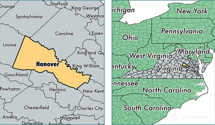
Hanover County is a county equivalent area found in Virginia, USA. The county government of Hanover is found in the county seat of Hanover.
With a total 1,227.15 sq. km of land and water area, Hanover County, Virginia is the 2264th largest county equivalent area in the United States. Home to 101,918 people, Hanover County has a total 39267 households earning 75070 on average per year.
Hanover County, Virginia - Quick Facts
| FIPS Code | 51085 |
| Area Codes | 804 |
| Time Zone | EST |
| Major Cities | Mechanicsville (population: 64,231), Ashland (population: 15,349), Montpelier (population: 7,124), Beaverdam (population: 4,297), Hanover (population: 3,224), Rockville (population: 3,107), Doswell (population: 1,970) |
| Land Area | 39,351 sq miles |
| Water Area | 469 sq miles |
| Household Income | $75,070 |
| Housing Units | 39,267 |
| Median Home Value | $262,000 |
| High School Grads | 92% of population |
| Holders of Bachelors Degrees | 36% of population |
| Retail Spending | $17,245 per capita |
| Food & Accomodation Sales | $137,013 per capita |
This page was last updated on June 30, 2016.