Where is Goochland County, Virginia?
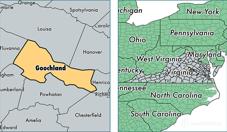
Goochland County is a county equivalent area found in Virginia, USA. The county government of Goochland is found in the county seat of Goochland.
With a total 750.85 sq. km of land and water area, Goochland County, Virginia is the 2862nd largest county equivalent area in the United States. Home to 21,936 people, Goochland County has a total 8760 households earning 80976 on average per year.
Goochland County, Virginia - Quick Facts
| FIPS Code | 51075 |
| Area Codes | 804 |
| Time Zone | EST |
| Major Cities | Goochland (population: 5,188), Manakin Sabot (population: 4,555), Maidens (population: 2,622), Gum Spring (population: 1,896), Columbia (population: 1,753), Sandy Hook (population: 1,311), Crozier (population: 1,038), Oilville (population: 367) |
| Land Area | 8,470 sq miles |
| Water Area | 281 sq miles |
| Household Income | $80,976 |
| Housing Units | 8,760 |
| Median Home Value | $338,500 |
| High School Grads | 87% of population |
| Holders of Bachelors Degrees | 38% of population |
| Retail Spending | $8,914 per capita |
| Food & Accomodation Sales | $15,818 per capita |
This page was last updated on June 30, 2016.