Where is New Kent County, Virginia?
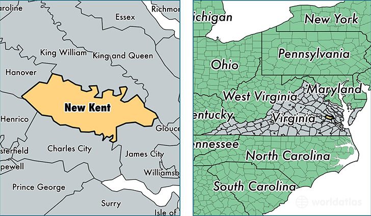
New Kent County is a county equivalent area found in Virginia, USA. The county government of New Kent is found in the county seat of New Kent.
With a total 578.79 sq. km of land and water area, New Kent County, Virginia is the 2986th largest county equivalent area in the United States. Home to 20,021 people, New Kent County has a total 7706 households earning 70618 on average per year.
New Kent County, Virginia - Quick Facts
| FIPS Code | 51127 |
| Area Codes | 804 |
| Time Zone | EST |
| Major Cities | Quinton (population: 6,730), Providence Forge (population: 5,287), Lanexa (population: 5,092), New Kent (population: 3,312), Barhamsville (population: 1,486) |
| Land Area | 7,730 sq miles |
| Water Area | 210 sq miles |
| Household Income | $70,618 |
| Housing Units | 7,706 |
| Median Home Value | $253,700 |
| High School Grads | 89% of population |
| Holders of Bachelors Degrees | 23% of population |
| Retail Spending | $7,837 per capita |
| Food & Accomodation Sales | $9,651 per capita |
This page was last updated on June 30, 2016.