Where is King William County, Virginia?
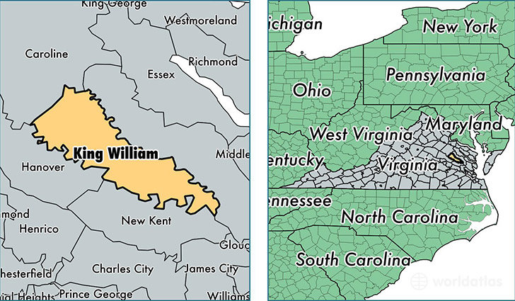
King William County is a county equivalent area found in Virginia, USA. The county government of King William is found in the county seat of King William.
With a total 739.79 sq. km of land and water area, King William County, Virginia is the 2874th largest county equivalent area in the United States. Home to 16,186 people, King William County has a total 6607 households earning 62670 on average per year.
King William County, Virginia - Quick Facts
| FIPS Code | 51101 |
| Area Codes | 804 |
| Time Zone | EST |
| Major Cities | Aylett (population: 6,297), West Point (population: 5,469), King William (population: 3,256), Manquin (population: 978) |
| Land Area | 6,249 sq miles |
| Water Area | 274 sq miles |
| Household Income | $62,670 |
| Housing Units | 6,607 |
| Median Home Value | $199,700 |
| High School Grads | 89% of population |
| Holders of Bachelors Degrees | 19% of population |
| Retail Spending | $8,060 per capita |
| Food & Accomodation Sales | $7,519 per capita |
This page was last updated on June 30, 2016.