Caroline County, VA, USA
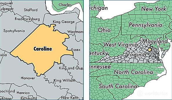
Caroline County is a county equivalent area found in Virginia, USA. The county government of Caroline is found in the county seat of Bowling Green.
With a total 1,390.5 sq. km of land and water area, Caroline County, Virginia is the 2050th largest county equivalent area in the United States. Home to 29,778 people, Caroline County has a total 11892 households earning 57218 on average per year.
Caroline County, Virginia - Quick Facts
| FIPS Code | 51033 |
| Area Codes | 804,540 |
| Time Zone | EST |
| Major Cities | Ruther Glen (population: 16,083), Woodford (population: 5,242), Bowling Green (population: 3,335), Milford (population: 2,641), Port Royal (population: 588), Rappahannock Academy (population: 311) |
| Land Area | 11,497 sq miles |
| Water Area | 527 sq miles |
| Household Income | $57,218 |
| Housing Units | 11,892 |
| Median Home Value | $188,400 |
| High School Grads | 81% of population |
| Holders of Bachelors Degrees | 17% of population |
| Retail Spending | $13,410 per capita |
| Food & Accomodation Sales | $14,720 per capita |