Where is Roanoke County, Virginia?
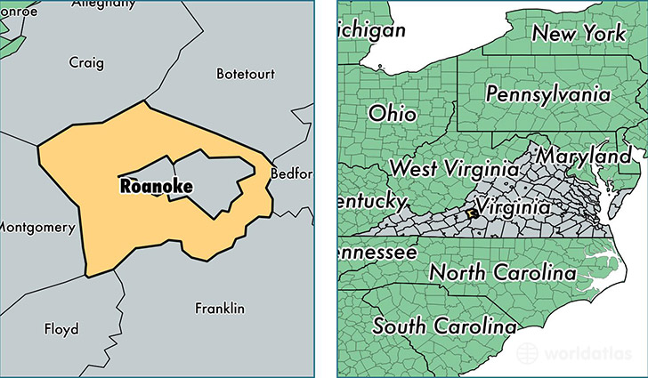
Roanoke County is a county equivalent area found in Virginia, USA.
With a total 650.81 sq. km of land and water area, Roanoke County, Virginia is the 2948th largest county equivalent area in the United States. Home to 93,785 people, Roanoke County has a total 40342 households earning 60795 on average per year.
Roanoke County, Virginia - Quick Facts
| FIPS Code | 51161 |
| Area Codes | 540 |
| Time Zone | EST |
| Major Cities | Roanoke (population: 63,716), Vinton (population: 18,764), Catawba (population: 1,370), Bent Mountain (population: 876) |
| Land Area | 36,211 sq miles |
| Water Area | 251 sq miles |
| Household Income | $60,795 |
| Housing Units | 40,342 |
| Median Home Value | $193,700 |
| High School Grads | 91% of population |
| Holders of Bachelors Degrees | 33% of population |
| Retail Spending | $9,281 per capita |
| Food & Accomodation Sales | $112,694 per capita |
This page was last updated on June 30, 2016.