Where is Dinwiddie County, Virginia?
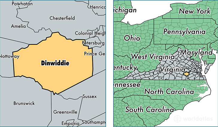
Dinwiddie County is a county equivalent area found in Virginia, USA. The county government of Dinwiddie is found in the county seat of Dinwiddie.
With a total 1,313.62 sq. km of land and water area, Dinwiddie County, Virginia is the 2147th largest county equivalent area in the United States. Home to 27,859 people, Dinwiddie County has a total 11500 households earning 52027 on average per year.
Dinwiddie County, Virginia offers the following attraction to visitors: Poplar Grove National Cemetery
Dinwiddie County, Virginia - Quick Facts
| FIPS Code | 51053 |
| Area Codes | 804 |
| Time Zone | EST |
| Major Cities | Dinwiddie (population: 3,478), Sutherland (population: 2,806), McKenney (population: 2,375), Church Road (population: 2,297), Dewitt (population: 1,857), Ford (population: 1,052), Wilsons (population: 672) |
| Land Area | 10,756 sq miles |
| Water Area | 504 sq miles |
| Household Income | $52,027 |
| Housing Units | 11,500 |
| Median Home Value | $165,300 |
| High School Grads | 80% of population |
| Holders of Bachelors Degrees | 13% of population |
| Retail Spending | $4,472 per capita |
| Food & Accomodation Sales | $13,789 per capita |
This page was last updated on June 30, 2016.