Where is Amelia County, Virginia?
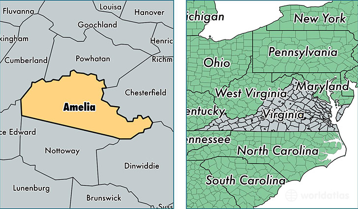
Amelia County is a county equivalent area found in Virginia, USA. The county government of Amelia is found in the county seat of Amelia Court House.
With a total 928.57 sq. km of land and water area, Amelia County, Virginia is the 2718th largest county equivalent area in the United States. Home to 12,855 people, Amelia County has a total 5374 households earning 52885 on average per year.
Amelia County, Virginia - Quick Facts
| FIPS Code | 51007 |
| Area Codes | 804 |
| Time Zone | EST |
| Major Cities | Amelia Court House (population: 10,495), Jetersville (population: 1,741) |
| Land Area | 4,963 sq miles |
| Water Area | 355 sq miles |
| Household Income | $52,885 |
| Housing Units | 5,374 |
| Median Home Value | $180,700 |
| High School Grads | 79% of population |
| Holders of Bachelors Degrees | 14% of population |
| Retail Spending | $5,368 per capita |
| Food & Accomodation Sales | $3,834 per capita |
This page was last updated on June 30, 2016.