Chesterfield County, VA, USA
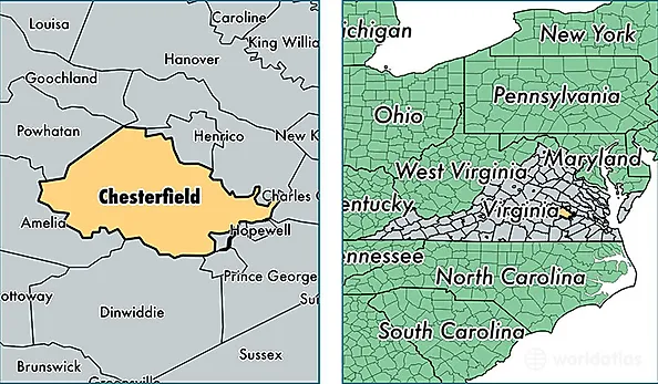
Chesterfield County is a county equivalent area found in Virginia, USA. The county government of Chesterfield is found in the county seat of Chesterfield.
With a total 1,131.7 sq. km of land and water area, Chesterfield County, Virginia is the 2399th largest county equivalent area in the United States. Home to 332,499 people, Chesterfield County has a total 125024 households earning 72088 on average per year.
Chesterfield County, Virginia - Quick Facts
| FIPS Code | 51041 |
| Area Codes | 804 |
| Time Zone | EST |
| Major Cities | Richmond (population: 123,167), Midlothian (population: 90,383), Chesterfield (population: 50,261), Chester (population: 45,595), Moseley (population: 6,098) |
| Land Area | 128,379 sq miles |
| Water Area | 424 sq miles |
| Household Income | $72,088 |
| Housing Units | 125,024 |
| Median Home Value | $226,500 |
| High School Grads | 90% of population |
| Holders of Bachelors Degrees | 36% of population |
| Retail Spending | $15,419 per capita |
| Food & Accomodation Sales | $491,530 per capita |