Where is Brunswick County, Virginia?
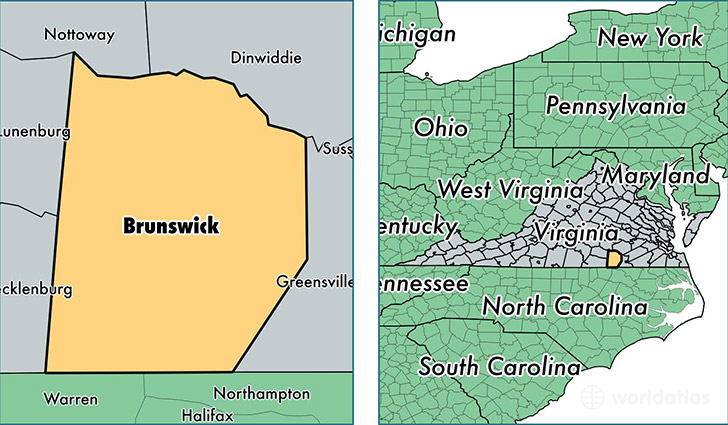
Brunswick County is a county equivalent area found in Virginia, USA. The county government of Brunswick is found in the county seat of Lawrenceville.
With a total 1,474.7 sq. km of land and water area, Brunswick County, Virginia is the 1936th largest county equivalent area in the United States. Home to 16,498 people, Brunswick County has a total 8113 households earning 36293 on average per year.
Brunswick County, Virginia - Quick Facts
| FIPS Code | 51025 |
| Area Codes | 434 |
| Time Zone | EST |
| Major Cities | Lawrenceville (population: 7,187), Brodnax (population: 3,399), Alberta (population: 1,558), Freeman (population: 1,007), Dolphin (population: 638), Warfield (population: 566), Valentines (population: 560), Gasburg (population: 512), Rawlings (population: 444), White Plains (population: 442) |
| Land Area | 6,370 sq miles |
| Water Area | 566 sq miles |
| Household Income | $36,293 |
| Housing Units | 8,113 |
| Median Home Value | $105,600 |
| High School Grads | 71% of population |
| Holders of Bachelors Degrees | 12% of population |
| Retail Spending | $4,203 per capita |
| Food & Accomodation Sales | $8,785 per capita |
| Universities and Colleges | Saint Pauls College |
This page was last updated on June 30, 2016.