Where is Prince George County, Virginia?
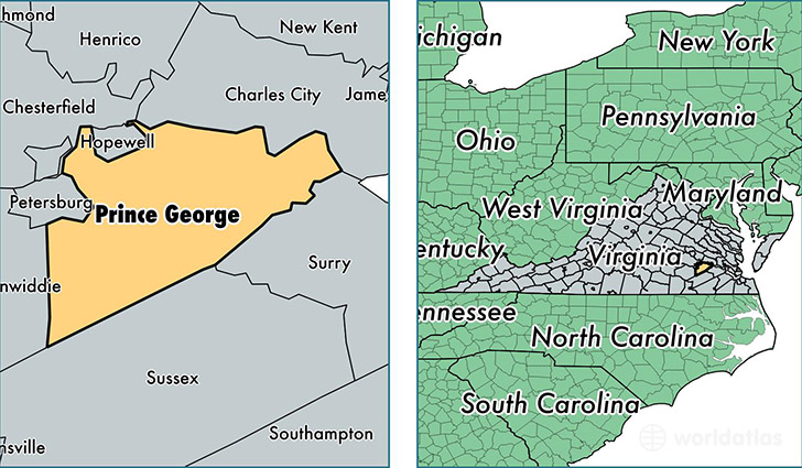
Prince George County is a county equivalent area found in Virginia, USA. The county government of Prince George is found in the county seat of Prince George.
With a total 729.96 sq. km of land and water area, Prince George County, Virginia is the 2889th largest county equivalent area in the United States. Home to 37,333 people, Prince George County has a total 12084 households earning 63074 on average per year.
Prince George County, Virginia - Quick Facts
| FIPS Code | 51149 |
| Area Codes | 804 |
| Time Zone | EST |
| Major Cities | Prince George (population: 11,248), Disputanta (population: 7,121), Fort Lee (population: 3,508), Carson (population: 1,510) |
| Land Area | 14,414 sq miles |
| Water Area | 265 sq miles |
| Household Income | $63,074 |
| Housing Units | 12,084 |
| Median Home Value | $199,600 |
| High School Grads | 86% of population |
| Holders of Bachelors Degrees | 18% of population |
| Retail Spending | $5,510 per capita |
| Food & Accomodation Sales | $23,081 per capita |
This page was last updated on June 30, 2016.