Where is Greensville County, Virginia?
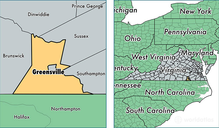
Greensville County is a county equivalent area found in Virginia, USA.
With a total 768.73 sq. km of land and water area, Greensville County, Virginia is the 2853rd largest county equivalent area in the United States. Home to 11,681 people, Greensville County has a total 4098 households earning 39697 on average per year.
Greensville County, Virginia - Quick Facts
| FIPS Code | 51081 |
| Area Codes | 434 |
| Time Zone | EST |
| Major Cities | Jarratt (population: 2,140), Skippers (population: 657) |
| Land Area | 4,510 sq miles |
| Water Area | 295 sq miles |
| Household Income | $39,697 |
| Housing Units | 4,098 |
| Median Home Value | $99,600 |
| High School Grads | 73% of population |
| Holders of Bachelors Degrees | 7% of population |
| Retail Spending | $8,558 per capita |
| Food & Accomodation Sales | $14,112 per capita |
This page was last updated on June 30, 2016.