Dickenson County, VA, USA
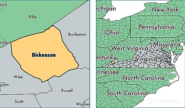
Dickenson County is a county equivalent area found in Virginia, USA. The county government of Dickenson is found in the county seat of Clintwood.
With a total 864.18 sq. km of land and water area, Dickenson County, Virginia is the 2777th largest county equivalent area in the United States. Home to 15,308 people, Dickenson County has a total 7479 households earning 33318 on average per year.
Dickenson County, Virginia - Quick Facts
| FIPS Code | 51051 |
| Area Codes | 276 |
| Time Zone | EST |
| Major Cities | Clintwood (population: 6,922), Haysi (population: 3,446), Clinchco (population: 1,413), Dante (population: 1,174), Birchleaf (population: 883), Nora (population: 519), Breaks (population: 457), Bee (population: 400), McClure (population: 319) |
| Land Area | 5,910 sq miles |
| Water Area | 331 sq miles |
| Household Income | $33,318 |
| Housing Units | 7,479 |
| Median Home Value | $75,700 |
| High School Grads | 72% of population |
| Holders of Bachelors Degrees | 11% of population |
| Retail Spending | $7,662 per capita |
| Food & Accomodation Sales | $5,152 per capita |