Where is Nelson County, Virginia?
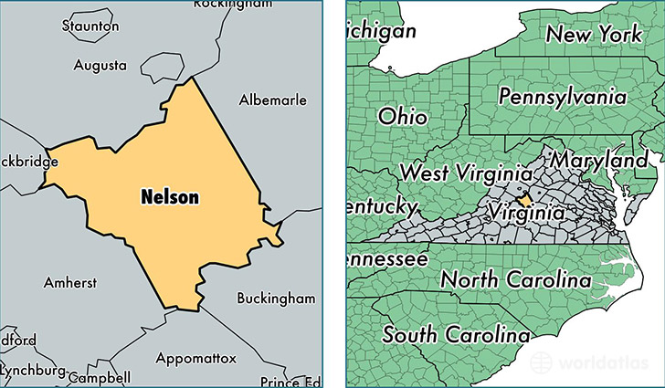
Nelson County is a county equivalent area found in Virginia, USA. The county government of Nelson is found in the county seat of Lovingston.
With a total 1,228.44 sq. km of land and water area, Nelson County, Virginia is the 2261st largest county equivalent area in the United States. Home to 14,850 people, Nelson County has a total 9978 households earning 48789 on average per year.
Nelson County, Virginia - Quick Facts
| FIPS Code | 51125 |
| Area Codes | 540,434 |
| Time Zone | EST |
| Major Cities | Afton (population: 4,197), Arrington (population: 1,968), Roseland (population: 1,934), Gladstone (population: 1,899), Shipman (population: 1,712), Nellysford (population: 1,616), Schuyler (population: 1,451), Faber (population: 1,428), Lovingston (population: 1,283), Tyro (population: 334) |
| Land Area | 5,734 sq miles |
| Water Area | 471 sq miles |
| Household Income | $48,789 |
| Housing Units | 9,978 |
| Median Home Value | $192,900 |
| High School Grads | 81% of population |
| Holders of Bachelors Degrees | 27% of population |
| Retail Spending | $4,967 per capita |
| Food & Accomodation Sales | $6,178 per capita |
This page was last updated on June 30, 2016.