Where is Montgomery County, Tennessee?
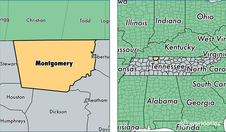
Montgomery County is a county equivalent area found in Tennessee, USA. The county government of Montgomery is found in the county seat of Clarksville.
With a total 1,408.51 sq. km of land and water area, Montgomery County, Tennessee is the 2024th largest county equivalent area in the United States. Home to 189,961 people, Montgomery County has a total 75204 households earning 49617 on average per year.
Montgomery County, Tennessee - Quick Facts
| FIPS Code | 47125 |
| Area Codes | 931 |
| Time Zone | CST |
| Major Cities | Clarksville (population: 162,460), Woodlawn (population: 4,303), Cunningham (population: 2,843), Palmyra (population: 2,035), Southside (population: 981) |
| Land Area | 73,344 sq miles |
| Water Area | 539 sq miles |
| Household Income | $49,617 |
| Housing Units | 75,204 |
| Median Home Value | $141,800 |
| High School Grads | 91% of population |
| Holders of Bachelors Degrees | 24% of population |
| Retail Spending | $12,125 per capita |
| Food & Accomodation Sales | $245,217 per capita |
This page was last updated on June 30, 2016.