Where is Dickson County, Tennessee?
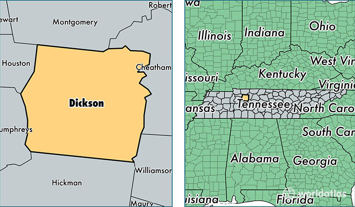
Dickson County is a county equivalent area found in Tennessee, USA. The county government of Dickson is found in the county seat of Charlotte.
With a total 1,272.51 sq. km of land and water area, Dickson County, Tennessee is the 2214th largest county equivalent area in the United States. Home to 50,575 people, Dickson County has a total 20921 households earning 44318 on average per year.
Dickson County, Tennessee - Quick Facts
| FIPS Code | 47043 |
| Area Codes | 615 |
| Time Zone | CST |
| Major Cities | Dickson (population: 27,403), White Bluff (population: 6,924), Charlotte (population: 5,944), Burns (population: 5,709), Cumberland Furnace (population: 3,794), Vanleer (population: 1,553), Slayden (population: 71) |
| Land Area | 19,527 sq miles |
| Water Area | 490 sq miles |
| Household Income | $44,318 |
| Housing Units | 20,921 |
| Median Home Value | $138,500 |
| High School Grads | 84% of population |
| Holders of Bachelors Degrees | 14% of population |
| Retail Spending | $12,779 per capita |
| Food & Accomodation Sales | $60,508 per capita |
This page was last updated on June 30, 2016.