Where is Robertson County, Tennessee?
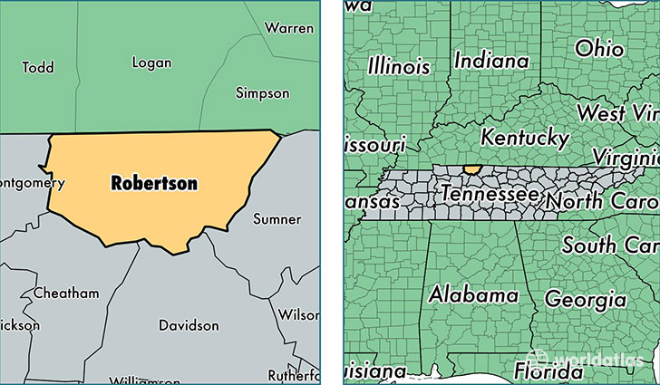
Robertson County is a county equivalent area found in Tennessee, USA. The county government of Robertson is found in the county seat of Springfield.
With a total 1,234.03 sq. km of land and water area, Robertson County, Tennessee is the 2257th largest county equivalent area in the United States. Home to 68,079 people, Robertson County has a total 26242 households earning 52792 on average per year.
Robertson County, Tennessee - Quick Facts
| FIPS Code | 47147 |
| Area Codes | 615 |
| Time Zone | CST |
| Major Cities | Springfield (population: 28,994), White House (population: 13,936), Greenbrier (population: 13,480), Adams (population: 4,905), Cedar Hill (population: 4,536), Cross Plains (population: 3,275), Orlinda (population: 1,235), Ridgetop (population: 47) |
| Land Area | 26,285 sq miles |
| Water Area | 476 sq miles |
| Household Income | $52,792 |
| Housing Units | 26,242 |
| Median Home Value | $153,100 |
| High School Grads | 85% of population |
| Holders of Bachelors Degrees | 17% of population |
| Retail Spending | $9,862 per capita |
| Food & Accomodation Sales | $60,729 per capita |
This page was last updated on June 30, 2016.