Where is Grainger County, Tennessee?
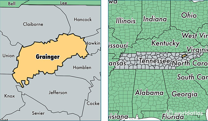
Grainger County is a county equivalent area found in Tennessee, USA. The county government of Grainger is found in the county seat of Rutledge.
With a total 783.37 sq. km of land and water area, Grainger County, Tennessee is the 2844th largest county equivalent area in the United States. Home to 22,864 people, Grainger County has a total 10760 households earning 32364 on average per year.
Grainger County, Tennessee - Quick Facts
| FIPS Code | 47057 |
| Area Codes | 865 |
| Time Zone | EST |
| Major Cities | Rutledge (population: 8,358), Bean Station (population: 6,577), Blaine (population: 3,741), Washburn (population: 2,746), Thorn Hill (population: 2,280) |
| Land Area | 8,828 sq miles |
| Water Area | 281 sq miles |
| Household Income | $32,364 |
| Housing Units | 10,760 |
| Median Home Value | $91,400 |
| High School Grads | 74% of population |
| Holders of Bachelors Degrees | 11% of population |
| Retail Spending | $3,515 per capita |
| Food & Accomodation Sales | $6,097 per capita |
This page was last updated on June 30, 2016.