Where is Hamblen County, Tennessee?
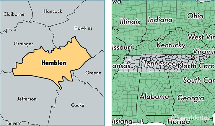
Hamblen County is a county equivalent area found in Tennessee, USA. The county government of Hamblen is found in the county seat of Morristown.
With a total 455.33 sq. km of land and water area, Hamblen County, Tennessee is the 3052nd largest county equivalent area in the United States. Home to 63,036 people, Hamblen County has a total 26931 households earning 39596 on average per year.
Hamblen County, Tennessee - Quick Facts
| FIPS Code | 47063 |
| Area Codes | 423 |
| Time Zone | EST |
| Major Cities | Morristown (population: 50,680), Talbott (population: 8,529), Russellville (population: 4,126), Whitesburg (population: 3,631) |
| Land Area | 24,338 sq miles |
| Water Area | 161 sq miles |
| Household Income | $39,596 |
| Housing Units | 26,931 |
| Median Home Value | $125,000 |
| High School Grads | 80% of population |
| Holders of Bachelors Degrees | 16% of population |
| Retail Spending | $17,030 per capita |
| Food & Accomodation Sales | $91,273 per capita |
This page was last updated on June 30, 2016.