Where is Knox County, Tennessee?
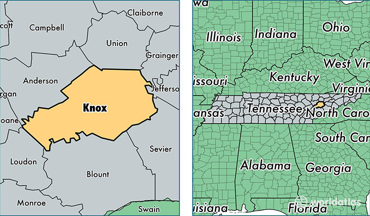
Knox County is a county equivalent area found in Tennessee, USA. The county government of Knox is found in the county seat of Knoxville.
With a total 1,361.99 sq. km of land and water area, Knox County, Tennessee is the 2088th largest county equivalent area in the United States. Home to 448,644 people, Knox County has a total 197288 households earning 47694 on average per year.
Knox County, Tennessee - Quick Facts
| FIPS Code | 47093 |
| Area Codes | 865 |
| Time Zone | EST |
| Major Cities | Knoxville (population: 399,588), Powell (population: 25,924), Corryton (population: 12,964), Strawberry Plains (population: 9,321), Mascot (population: 2,928) |
| Land Area | 173,222 sq miles |
| Water Area | 508 sq miles |
| Household Income | $47,694 |
| Housing Units | 197,288 |
| Median Home Value | $157,400 |
| High School Grads | 90% of population |
| Holders of Bachelors Degrees | 34% of population |
| Retail Spending | $19,329 per capita |
| Food & Accomodation Sales | $919,247 per capita |
This page was last updated on June 30, 2016.