Claiborne County, TN, USA
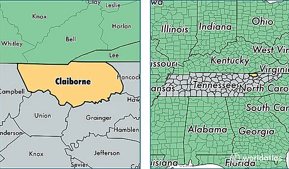
Claiborne County is a county equivalent area found in Tennessee, USA. The county government of Claiborne is found in the county seat of Tazewell.
With a total 1,143.67 sq. km of land and water area, Claiborne County, Tennessee is the 2381st largest county equivalent area in the United States. Home to 31,592 people, Claiborne County has a total 14876 households earning 33229 on average per year.
Claiborne County, Tennessee - Quick Facts
| FIPS Code | 47025 |
| Area Codes | 423 |
| Time Zone | EST |
| Major Cities | Tazewell (population: 10,476), New Tazewell (population: 8,279), Harrogate (population: 6,419), Speedwell (population: 4,521), Cumberland Gap (population: 2,831), Clairfield (population: 986), Eagan (population: 58), Pruden (population: 35) |
| Land Area | 12,198 sq miles |
| Water Area | 435 sq miles |
| Household Income | $33,229 |
| Housing Units | 14,876 |
| Median Home Value | $94,900 |
| High School Grads | 75% of population |
| Holders of Bachelors Degrees | 13% of population |
| Retail Spending | $5,011 per capita |
| Food & Accomodation Sales | $21,624 per capita |