Where is Delaware County, Oklahoma?
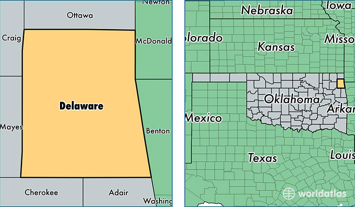
Delaware County is a county equivalent area found in Oklahoma, USA. The county government of Delaware is found in the county seat of Jay.
With a total 2,052.07 sq. km of land and water area, Delaware County, Oklahoma is the 1196th largest county equivalent area in the United States. Home to 41,446 people, Delaware County has a total 24682 households earning 36588 on average per year.
Delaware County, Oklahoma - Quick Facts
| FIPS Code | 40041 |
| Area Codes | 918 |
| Time Zone | CST |
| Major Cities | Grove (population: 14,396), Jay (population: 7,855), Afton (population: 7,265), Colcord (population: 5,473), Eucha (population: 2,923), Kansas (population: 2,587), Rose (population: 1,755), Oaks (population: 655), Twin Oaks (population: 116) |
| Land Area | 16,002 sq miles |
| Water Area | 738 sq miles |
| Household Income | $36,588 |
| Housing Units | 24,682 |
| Median Home Value | $105,200 |
| High School Grads | 85% of population |
| Holders of Bachelors Degrees | 16% of population |
| Retail Spending | $7,223 per capita |
| Food & Accomodation Sales | $27,083 per capita |
This page was last updated on June 30, 2016.