Where is Benton County, Arkansas?
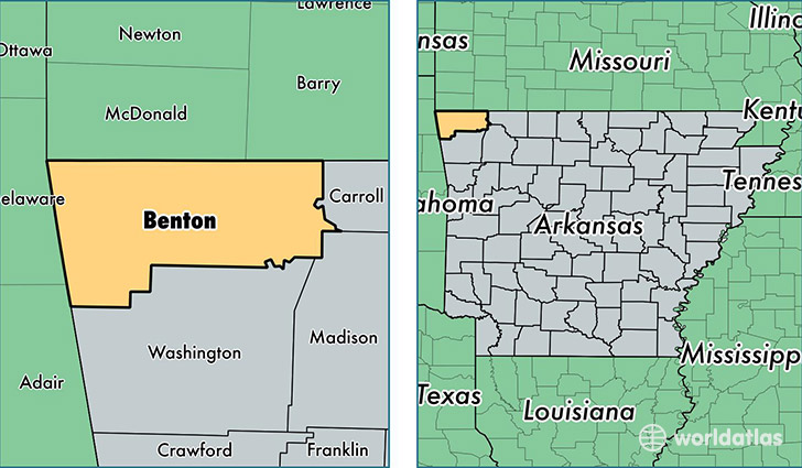
Benton County is a county equivalent area found in Arkansas, USA. The county government of Benton is found in the county seat of Bentonville.
With a total 2,289.31 sq. km of land and water area, Benton County, Arkansas is the 1013th largest county equivalent area in the United States. Home to 242,321 people, Benton County has a total 95728 households earning 54515 on average per year.
Benton County, Arkansas offers the following attraction to visitors: Pea Ridge NMP
Benton County, Arkansas - Quick Facts
| FIPS Code | 5007 |
| Area Codes | 479 |
| Time Zone | CST |
| Major Cities | Rogers (population: 75,479), Bentonville (population: 42,954), Bella Vista (population: 28,260), Siloam Springs (population: 22,256), Lowell (population: 11,937), Centerton (population: 9,418), Gentry (population: 7,683), Pea Ridge (population: 6,751), Gravette (population: 6,514), Garfield (population: 4,948) |
| Land Area | 93,561 sq miles |
| Water Area | 847 sq miles |
| Household Income | $54,515 |
| Housing Units | 95,728 |
| Median Home Value | $147,500 |
| High School Grads | 86% of population |
| Holders of Bachelors Degrees | 29% of population |
| Retail Spending | $11,332 per capita |
| Food & Accomodation Sales | $295,747 per capita |
| Universities and Colleges | NorthWest Arkansas Community College, Ecclesia College |
This page was last updated on June 30, 2016.