Where is Mayes County, Oklahoma?
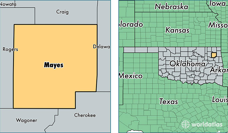
Mayes County is a county equivalent area found in Oklahoma, USA. The county government of Mayes is found in the county seat of Pryor.
With a total 1,770.29 sq. km of land and water area, Mayes County, Oklahoma is the 1482nd largest county equivalent area in the United States. Home to 40,816 people, Mayes County has a total 19130 households earning 42751 on average per year.
Mayes County, Oklahoma - Quick Facts
| FIPS Code | 40097 |
| Area Codes | 918 |
| Time Zone | CST |
| Major Cities | Pryor (population: 16,257), Locust Grove (population: 6,798), Salina (population: 5,099), Chouteau (population: 5,062), Adair (population: 2,877), Spavinaw (population: 1,470), Langley (population: 860), Strang (population: 585), Ketchum (population: 312), Disney (population: 310) |
| Land Area | 15,759 sq miles |
| Water Area | 655 sq miles |
| Household Income | $42,751 |
| Housing Units | 19,130 |
| Median Home Value | $96,200 |
| High School Grads | 84% of population |
| Holders of Bachelors Degrees | 15% of population |
| Retail Spending | $10,425 per capita |
| Food & Accomodation Sales | $36,033 per capita |
This page was last updated on June 30, 2016.