Ottawa County, OK, USA
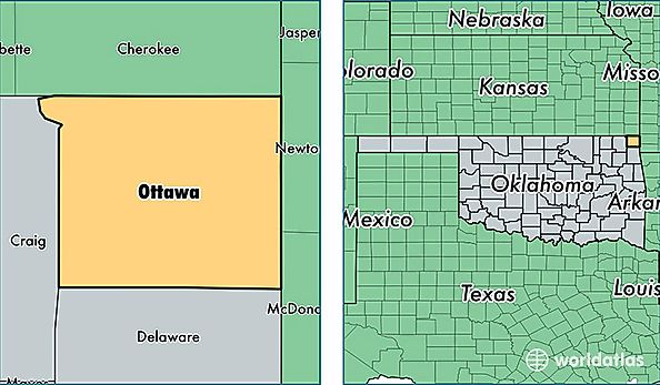
Ottawa County is a county equivalent area found in Oklahoma, USA. The county government of Ottawa is found in the county seat of Miami.
With a total 1,255.18 sq. km of land and water area, Ottawa County, Oklahoma is the 2228th largest county equivalent area in the United States. Home to 32,105 people, Ottawa County has a total 14005 households earning 36473 on average per year.
Ottawa County, Oklahoma - Quick Facts
| FIPS Code | 40115 |
| Area Codes | 918 |
| Time Zone | CST |
| Major Cities | Miami (population: 18,343), Wyandotte (population: 3,576), Fairland (population: 3,137), Quapaw (population: 2,927), Commerce (population: 2,637), Bluejacket (population: 1,200), North Miami (population: 273), Cardin (population: 124), Picher (population: 31) |
| Land Area | 12,396 sq miles |
| Water Area | 471 sq miles |
| Household Income | $36,473 |
| Housing Units | 14,005 |
| Median Home Value | $81,000 |
| High School Grads | 84% of population |
| Holders of Bachelors Degrees | 14% of population |
| Retail Spending | $8,921 per capita |
| Food & Accomodation Sales | $28,022 per capita |