Where is Cherokee County, Oklahoma?
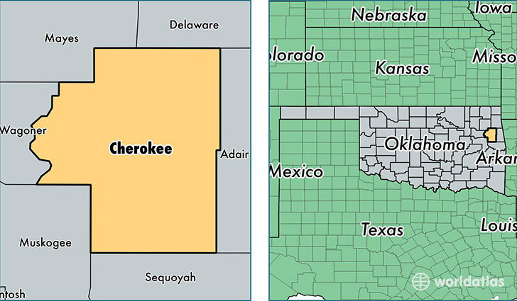
Cherokee County is a county equivalent area found in Oklahoma, USA. The county government of Cherokee is found in the county seat of Tahlequah.
With a total 2,010.58 sq. km of land and water area, Cherokee County, Oklahoma is the 1220th largest county equivalent area in the United States. Home to 48,341 people, Cherokee County has a total 21508 households earning 37260 on average per year.
Cherokee County, Oklahoma - Quick Facts
| FIPS Code | 40021 |
| Area Codes | 918 |
| Time Zone | CST |
| Major Cities | Tahlequah (population: 30,856), Hulbert (population: 5,494), Park Hill (population: 4,389), Welling (population: 1,844), Cookson (population: 1,417), Peggs (population: 478), Moodys (population: 79) |
| Land Area | 18,665 sq miles |
| Water Area | 749 sq miles |
| Household Income | $37,260 |
| Housing Units | 21,508 |
| Median Home Value | $103,900 |
| High School Grads | 85% of population |
| Holders of Bachelors Degrees | 25% of population |
| Retail Spending | $7,378 per capita |
| Food & Accomodation Sales | $42,076 per capita |
This page was last updated on June 30, 2016.