Where is Crawford County, Ohio?
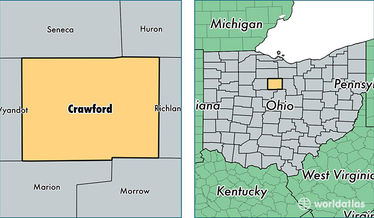
Crawford County is a county equivalent area found in Ohio, USA. The county government of Crawford is found in the county seat of Bucyrus.
With a total 1,042.98 sq. km of land and water area, Crawford County, Ohio is the 2590th largest county equivalent area in the United States. Home to 42,480 people, Crawford County has a total 19955 households earning 40783 on average per year.
Crawford County, Ohio - Quick Facts
| FIPS Code | 39033 |
| Area Codes | 419 |
| Time Zone | EST |
| Major Cities | Bucyrus (population: 17,715), Galion (population: 16,826), Crestline (population: 6,950), New Washington (population: 1,711), Tiro (population: 998), North Robinson (population: 125), Oceola (population: 78), Sulphur Springs (population: 68), Chatfield (population: 56) |
| Land Area | 16,402 sq miles |
| Water Area | 402 sq miles |
| Household Income | $40,783 |
| Housing Units | 19,955 |
| Median Home Value | $87,300 |
| High School Grads | 87% of population |
| Holders of Bachelors Degrees | 12% of population |
| Retail Spending | $7,671 per capita |
| Food & Accomodation Sales | $39,099 per capita |
This page was last updated on June 30, 2016.