Where is Morrow County, Ohio?
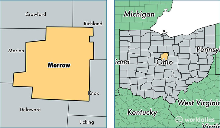
Morrow County is a county equivalent area found in Ohio, USA. The county government of Morrow is found in the county seat of Mount Gilead.
With a total 1,054.7 sq. km of land and water area, Morrow County, Ohio is the 2563rd largest county equivalent area in the United States. Home to 35,152 people, Morrow County has a total 14040 households earning 51484 on average per year.
Morrow County, Ohio - Quick Facts
| FIPS Code | 39117 |
| Area Codes | 419 |
| Time Zone | EST |
| Major Cities | Mount Gilead (population: 10,522), Cardington (population: 7,066), Marengo (population: 6,677), Edison (population: 1,593), Fulton (population: 267), Chesterville (population: 168), Sparta (population: 63) |
| Land Area | 13,572 sq miles |
| Water Area | 406 sq miles |
| Household Income | $51,484 |
| Housing Units | 14,040 |
| Median Home Value | $127,400 |
| High School Grads | 88% of population |
| Holders of Bachelors Degrees | 14% of population |
| Retail Spending | $4,847 per capita |
| Food & Accomodation Sales | $13,979 per capita |
This page was last updated on June 30, 2016.