Where is Licking County, Ohio?
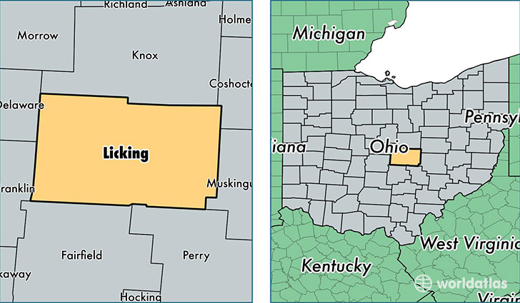
Licking County is a county equivalent area found in Ohio, USA. The county government of Licking is found in the county seat of Newark.
With a total 1,780.56 sq. km of land and water area, Licking County, Ohio is the 1475th largest county equivalent area in the United States. Home to 169,390 people, Licking County has a total 69598 households earning 55114 on average per year.
Licking County, Ohio - Quick Facts
| FIPS Code | 39089 |
| Area Codes | 740 |
| Time Zone | EST |
| Major Cities | Newark (population: 59,979), Pataskala (population: 27,818), Heath (population: 17,548), Granville (population: 13,314), Johnstown (population: 12,407), Utica (population: 5,518), Hebron (population: 5,339), Buckeye Lake (population: 2,494), Alexandria (population: 2,415), Saint Louisville (population: 2,365) |
| Land Area | 65,402 sq miles |
| Water Area | 683 sq miles |
| Household Income | $55,114 |
| Housing Units | 69,598 |
| Median Home Value | $149,500 |
| High School Grads | 89% of population |
| Holders of Bachelors Degrees | 22% of population |
| Retail Spending | $11,324 per capita |
| Food & Accomodation Sales | $194,174 per capita |
This page was last updated on June 30, 2016.