Where is Jackson County, Ohio?
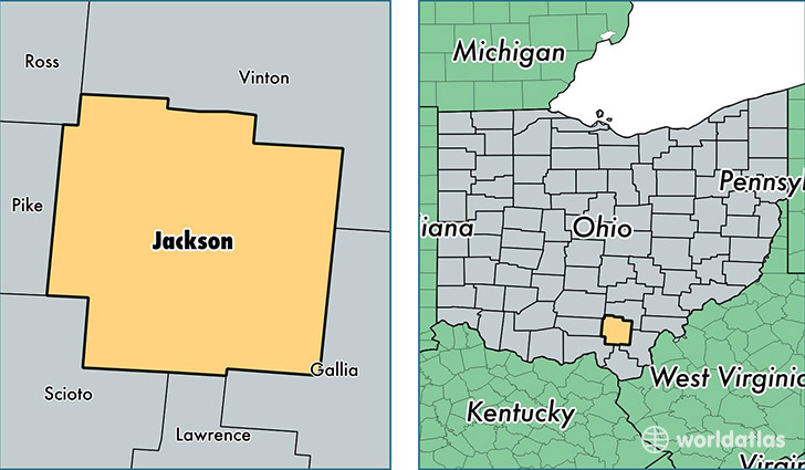
Jackson County is a county equivalent area found in Ohio, USA. The county government of Jackson is found in the county seat of Jackson.
With a total 1,091.77 sq. km of land and water area, Jackson County, Ohio is the 2484th largest county equivalent area in the United States. Home to 32,748 people, Jackson County has a total 14479 households earning 36356 on average per year.
Jackson County, Ohio - Quick Facts
| FIPS Code | 39079 |
| Area Codes | 740 |
| Time Zone | EST |
| Major Cities | Jackson (population: 15,829), Wellston (population: 8,701), Oak Hill (population: 6,585), Coalton (population: 310) |
| Land Area | 12,644 sq miles |
| Water Area | 420 sq miles |
| Household Income | $36,356 |
| Housing Units | 14,479 |
| Median Home Value | $89,600 |
| High School Grads | 81% of population |
| Holders of Bachelors Degrees | 15% of population |
| Retail Spending | $10,092 per capita |
| Food & Accomodation Sales | $35,451 per capita |
This page was last updated on June 30, 2016.