Where is Vinton County, Ohio?
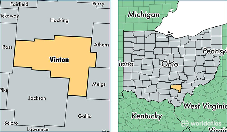
Vinton County is a county equivalent area found in Ohio, USA. The county government of Vinton is found in the county seat of McArthur.
With a total 1,074.79 sq. km of land and water area, Vinton County, Ohio is the 2513th largest county equivalent area in the United States. Home to 13,234 people, Vinton County has a total 6172 households earning 36705 on average per year.
Vinton County, Ohio - Quick Facts
| FIPS Code | 39163 |
| Area Codes | 740 |
| Time Zone | EST |
| Major Cities | McArthur (population: 5,958), Hamden (population: 2,081), Ray (population: 1,729), New Plymouth (population: 907), Wilkesville (population: 664), Zaleski (population: 336), Creola (population: 316) |
| Land Area | 5,110 sq miles |
| Water Area | 412 sq miles |
| Household Income | $36,705 |
| Housing Units | 6,172 |
| Median Home Value | $75,700 |
| High School Grads | 80% of population |
| Holders of Bachelors Degrees | 9% of population |
| Retail Spending | $3,241 per capita |
| Food & Accomodation Sales | $2,836 per capita |
This page was last updated on June 30, 2016.