Where is Saratoga County, New York?
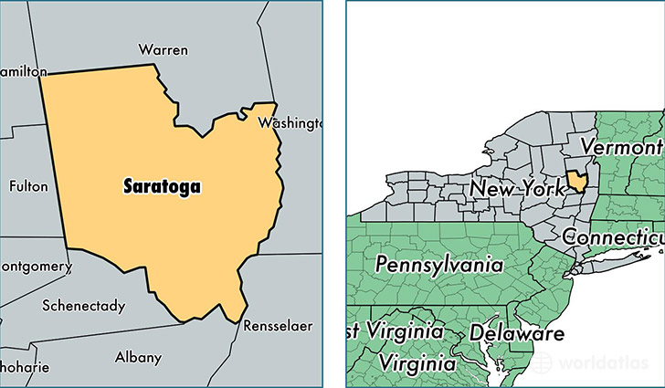
Saratoga County is a county equivalent area found in New York, USA. The county government of Saratoga is found in the county seat of Ballston Spa.
With a total 2,185.45 sq. km of land and water area, Saratoga County, New York is the 1093rd largest county equivalent area in the United States. Home to 224,921 people, Saratoga County has a total 100681 households earning 69826 on average per year.
Saratoga County, New York offers the following attraction to visitors: Saratoga NHP
Saratoga County, New York - Quick Facts
| FIPS Code | 36091 |
| Area Codes | 518 |
| Time Zone | EST |
| Major Cities | Clifton Park (population: 42,256), Saratoga Springs (population: 37,339), Ballston Spa (population: 31,550), Gansevoort (population: 17,616), Ballston Lake (population: 14,902), Mechanicville (population: 14,052), Waterford (population: 11,106), South Glens Falls (population: 7,654), Corinth (population: 6,271), Stillwater (population: 5,001) |
| Land Area | 86,842 sq miles |
| Water Area | 810 sq miles |
| Household Income | $69,826 |
| Housing Units | 100,681 |
| Median Home Value | $230,700 |
| High School Grads | 93% of population |
| Holders of Bachelors Degrees | 37% of population |
| Retail Spending | $20,838 per capita |
| Food & Accomodation Sales | $333,539 per capita |
This page was last updated on June 30, 2016.