Montgomery County, NY, USA
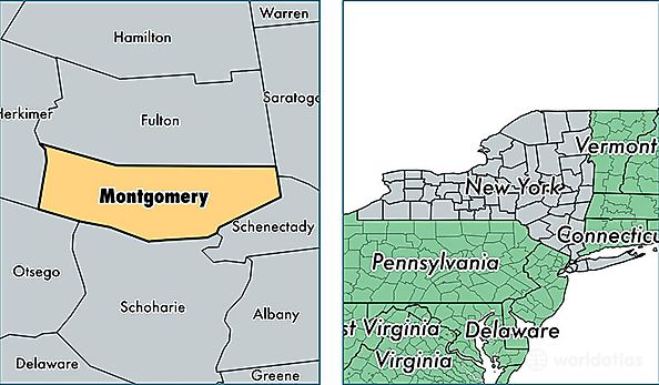
Montgomery County is a county equivalent area found in New York, USA. The county government of Montgomery is found in the county seat of Fonda.
With a total 1,062.67 sq. km of land and water area, Montgomery County, New York is the 2544th largest county equivalent area in the United States. Home to 49,779 people, Montgomery County has a total 23148 households earning 44156 on average per year.
Montgomery County, New York - Quick Facts
| FIPS Code | 36057 |
| Area Codes | 518 |
| Time Zone | EST |
| Major Cities | Amsterdam (population: 28,771), Fort Plain (population: 6,903), Saint Johnsville (population: 4,592), Canajoharie (population: 3,763), Fonda (population: 3,183), Fultonville (population: 2,874), Esperance (population: 2,118), Hagaman (population: 1,859), Palatine Bridge (population: 1,625), Fort Johnson (population: 1,400) |
| Land Area | 19,220 sq miles |
| Water Area | 403 sq miles |
| Household Income | $44,156 |
| Housing Units | 23,148 |
| Median Home Value | $101,200 |
| High School Grads | 83% of population |
| Holders of Bachelors Degrees | 16% of population |
| Retail Spending | $12,792 per capita |
| Food & Accomodation Sales | $41,969 per capita |