Where is Schenectady County, New York?
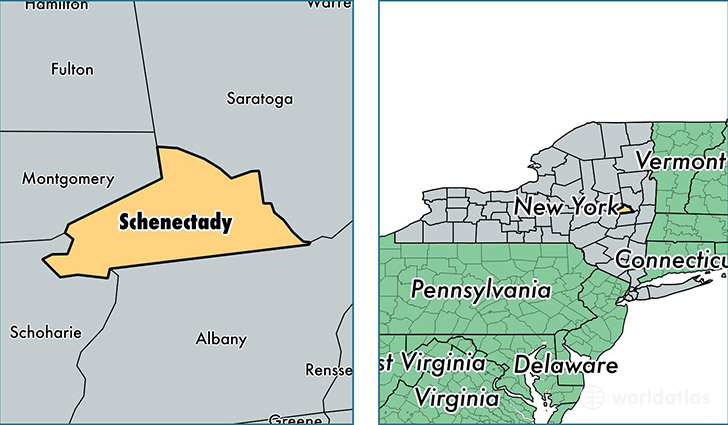
Schenectady County is a county equivalent area found in New York, USA. The county government of Schenectady is found in the county seat of Schenectady.
With a total 542.46 sq. km of land and water area, Schenectady County, New York is the 3007th largest county equivalent area in the United States. Home to 155,735 people, Schenectady County has a total 68023 households earning 56061 on average per year.
Schenectady County, New York - Quick Facts
| FIPS Code | 36093 |
| Area Codes | 518 |
| Time Zone | EST |
| Major Cities | Schenectady (population: 163,088), Delanson (population: 4,587), Duanesburg (population: 2,315), Pattersonville (population: 1,680), Rotterdam Junction (population: 916), Alplaus (population: 498) |
| Land Area | 60,130 sq miles |
| Water Area | 205 sq miles |
| Household Income | $56,061 |
| Housing Units | 68,023 |
| Median Home Value | $166,500 |
| High School Grads | 90% of population |
| Holders of Bachelors Degrees | 29% of population |
| Retail Spending | $11,074 per capita |
| Food & Accomodation Sales | $151,820 per capita |
| Universities and Colleges | Schenectady County Community College |
This page was last updated on June 30, 2016.