Where is Orange County, New York?
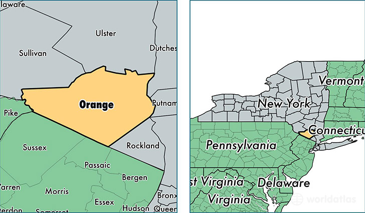
Orange County is a county equivalent area found in New York, USA. The county government of Orange is found in the county seat of Goshen.
With a total 2,172.08 sq. km of land and water area, Orange County, New York is the 1098th largest county equivalent area in the United States. Home to 376,099 people, Orange County has a total 138873 households earning 70458 on average per year.
Orange County, New York - Quick Facts
| FIPS Code | 36071 |
| Area Codes | 845 |
| Time Zone | EST |
| Major Cities | Middletown (population: 62,470), Newburgh (population: 54,695), Monroe (population: 47,441), New Windsor (population: 24,549), Warwick (population: 20,725), Port Jervis (population: 14,577), Goshen (population: 13,179), Walden (population: 12,597), Chester (population: 11,700), Montgomery (population: 10,247) |
| Land Area | 145,213 sq miles |
| Water Area | 812 sq miles |
| Household Income | $70,458 |
| Housing Units | 138,873 |
| Median Home Value | $276,900 |
| High School Grads | 88% of population |
| Holders of Bachelors Degrees | 29% of population |
| Retail Spending | $15,228 per capita |
| Food & Accomodation Sales | $454,721 per capita |
| Universities and Colleges | Beauty School of Middletown |
This page was last updated on June 30, 2016.