Where is Dutchess County, New York?
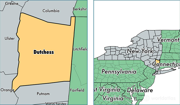
Dutchess County is a county equivalent area found in New York, USA. The county government of Dutchess is found in the county seat of Poughkeepsie.
With a total 2,137.64 sq. km of land and water area, Dutchess County, New York is the 1122nd largest county equivalent area in the United States. Home to 296,579 people, Dutchess County has a total 118650 households earning 72525 on average per year.
Dutchess County, New York offers the following attractions to visitors: Franklin D. Roosevelt Home & Library, Eleanor Roosevelt NHS, Home of Franklin D. Roosevelt NHS, Vanderbilt Mansion NHS
Dutchess County, New York - Quick Facts
| FIPS Code | 36027 |
| Area Codes | 845,518 |
| Time Zone | EST |
| Major Cities | Poughkeepsie (population: 86,744), Wappingers Falls (population: 35,082), Hopewell Junction (population: 25,292), Beacon (population: 19,868), Fishkill (population: 15,589), Hyde Park (population: 14,569), Red Hook (population: 9,906), Pleasant Valley (population: 9,820), Rhinebeck (population: 9,117), Lagrangeville (population: 7,797) |
| Land Area | 114,510 sq miles |
| Water Area | 796 sq miles |
| Household Income | $72,525 |
| Housing Units | 118,650 |
| Median Home Value | $289,400 |
| High School Grads | 90% of population |
| Holders of Bachelors Degrees | 33% of population |
| Retail Spending | $12,334 per capita |
| Food & Accomodation Sales | $424,664 per capita |
| Universities and Colleges | Bard College, Culinary Institute of America, Unification Theological Seminary |
This page was last updated on June 30, 2016.