Where is Ulster County, New York?
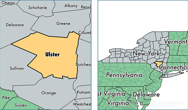
Ulster County is a county equivalent area found in New York, USA. The county government of Ulster is found in the county seat of Kingston.
With a total 3,006.35 sq. km of land and water area, Ulster County, New York is the 609th largest county equivalent area in the United States. Home to 180,445 people, Ulster County has a total 83480 households earning 58590 on average per year.
Ulster County, New York - Quick Facts
| FIPS Code | 36111 |
| Area Codes | 845 |
| Time Zone | EST |
| Major Cities | Kingston (population: 34,905), Saugerties (population: 18,714), New Paltz (population: 18,237), Wallkill (population: 17,190), Highland (population: 13,292), Pine Bush (population: 10,748), Ellenville (population: 6,576), Marlboro (population: 5,892), Kerhonkson (population: 5,041), Woodstock (population: 4,832) |
| Land Area | 69,670 sq miles |
| Water Area | 1,124 sq miles |
| Household Income | $58,590 |
| Housing Units | 83,480 |
| Median Home Value | $232,400 |
| High School Grads | 89% of population |
| Holders of Bachelors Degrees | 30% of population |
| Retail Spending | $12,346 per capita |
| Food & Accomodation Sales | $321,410 per capita |
| Universities and Colleges | SUNY College at New Paltz, Ulster County Community College |
This page was last updated on June 30, 2016.