Where is Essex County, New York?
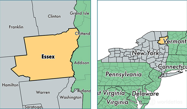
Essex County is a county equivalent area found in New York, USA. The county government of Essex is found in the county seat of Elizabethtown.
With a total 4,963.08 sq. km of land and water area, Essex County, New York is the 336th largest county equivalent area in the United States. Home to 38,679 people, Essex County has a total 25618 households earning 47380 on average per year.
Essex County, New York - Quick Facts
| FIPS Code | 36031 |
| Area Codes | 518 |
| Time Zone | EST |
| Major Cities | Lake Placid (population: 5,434), Ticonderoga (population: 4,972), Willsboro (population: 2,064), Crown Point (population: 2,006), Ray Brook (population: 1,734), Westport (population: 1,606), Port Henry (population: 1,582), Schroon Lake (population: 1,493), Jay (population: 1,413), Mineville (population: 1,245) |
| Land Area | 14,934 sq miles |
| Water Area | 1,794 sq miles |
| Household Income | $47,380 |
| Housing Units | 25,618 |
| Median Home Value | $146,600 |
| High School Grads | 88% of population |
| Holders of Bachelors Degrees | 23% of population |
| Retail Spending | $11,338 per capita |
| Food & Accomodation Sales | $125,639 per capita |
| Universities and Colleges | North Country Community College |
This page was last updated on June 30, 2016.