Where is Clinton County, New York?
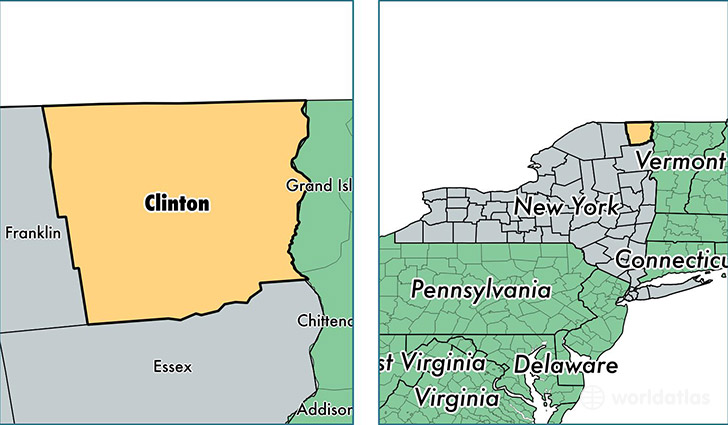
Clinton County is a county equivalent area found in New York, USA. The county government of Clinton is found in the county seat of Plattsburgh.
With a total 2,894.38 sq. km of land and water area, Clinton County, New York is the 650th largest county equivalent area in the United States. Home to 81,632 people, Clinton County has a total 35743 households earning 50282 on average per year.
Clinton County, New York - Quick Facts
| FIPS Code | 36019 |
| Area Codes | 518 |
| Time Zone | EST |
| Major Cities | Plattsburgh (population: 34,455), Peru (population: 6,327), Morrisonville (population: 5,467), West Chazy (population: 4,750), Keeseville (population: 4,238), Dannemora (population: 3,915), Champlain (population: 3,019), Chazy (population: 2,396), Cadyville (population: 2,367), Rouses Point (population: 2,290) |
| Land Area | 31,518 sq miles |
| Water Area | 1,038 sq miles |
| Household Income | $50,282 |
| Housing Units | 35,743 |
| Median Home Value | $122,900 |
| High School Grads | 85% of population |
| Holders of Bachelors Degrees | 22% of population |
| Retail Spending | $14,598 per capita |
| Food & Accomodation Sales | $126,639 per capita |
This page was last updated on June 30, 2016.