Where is Iredell County, North Carolina?
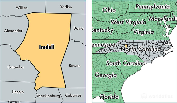
Iredell County is a county equivalent area found in North Carolina, USA. The county government of Iredell is found in the county seat of Statesville.
With a total 1,547.16 sq. km of land and water area, Iredell County, North Carolina is the 1750th largest county equivalent area in the United States. Home to 166,675 people, Iredell County has a total 69325 households earning 50329 on average per year.
Iredell County, North Carolina - Quick Facts
| FIPS Code | 37097 |
| Area Codes | 704 |
| Time Zone | EST |
| Major Cities | Mooresville (population: 71,172), Statesville (population: 70,544), Troutman (population: 8,795), Harmony (population: 5,325), Olin (population: 2,295), Union Grove (population: 1,738) |
| Land Area | 64,354 sq miles |
| Water Area | 574 sq miles |
| Household Income | $50,329 |
| Housing Units | 69,325 |
| Median Home Value | $166,700 |
| High School Grads | 86% of population |
| Holders of Bachelors Degrees | 24% of population |
| Retail Spending | $15,114 per capita |
| Food & Accomodation Sales | $246,678 per capita |
| Universities and Colleges | Mitchell Community College |
This page was last updated on June 30, 2016.