Where is Reynolds County, Missouri?
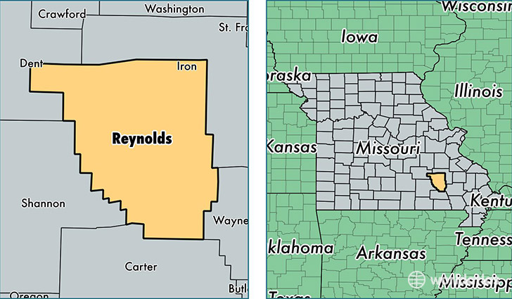
Reynolds County is a county equivalent area found in Missouri, USA. The county government of Reynolds is found in the county seat of Centerville.
With a total 2,109.32 sq. km of land and water area, Reynolds County, Missouri is the 1144th largest county equivalent area in the United States. Home to 6,565 people, Reynolds County has a total 3983 households earning 34496 on average per year.
Reynolds County, Missouri - Quick Facts
| FIPS Code | 29179 |
| Area Codes | 573 |
| Time Zone | CST |
| Major Cities | Ellington (population: 2,907), Bunker (population: 1,307), Lesterville (population: 702), Centerville (population: 642), Black (population: 454), Redford (population: 239), Reynolds (population: 92) |
| Land Area | 2,535 sq miles |
| Water Area | 808 sq miles |
| Household Income | $34,496 |
| Housing Units | 3,983 |
| Median Home Value | $86,100 |
| High School Grads | 77% of population |
| Holders of Bachelors Degrees | 7% of population |
| Retail Spending | $4,484 per capita |
| Food & Accomodation Sales | $4,126 per capita |
This page was last updated on June 30, 2016.