Where is Miller County, Missouri?
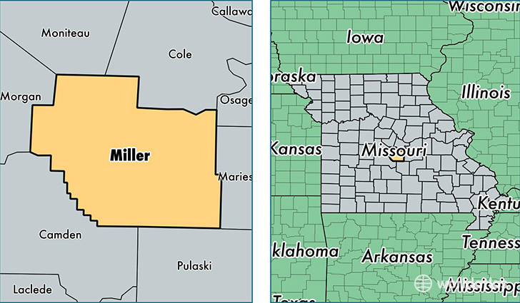
Miller County is a county equivalent area found in Missouri, USA. The county government of Miller is found in the county seat of Tuscumbia.
With a total 1,553.97 sq. km of land and water area, Miller County, Missouri is the 1743rd largest county equivalent area in the United States. Home to 25,141 people, Miller County has a total 12670 households earning 35507 on average per year.
Miller County, Missouri - Quick Facts
| FIPS Code | 29131 |
| Area Codes | 573 |
| Time Zone | CST |
| Major Cities | Eldon (population: 11,582), Iberia (population: 3,432), Brumley (population: 1,553), Kaiser (population: 1,353), Tuscumbia (population: 1,130), Saint Elizabeth (population: 786), Olean (population: 579), Ulman (population: 376) |
| Land Area | 9,707 sq miles |
| Water Area | 593 sq miles |
| Household Income | $35,507 |
| Housing Units | 12,670 |
| Median Home Value | $112,000 |
| High School Grads | 85% of population |
| Holders of Bachelors Degrees | 15% of population |
| Retail Spending | $18,214 per capita |
| Food & Accomodation Sales | $30,047 per capita |
This page was last updated on June 30, 2016.