Where is Linn County, Missouri?
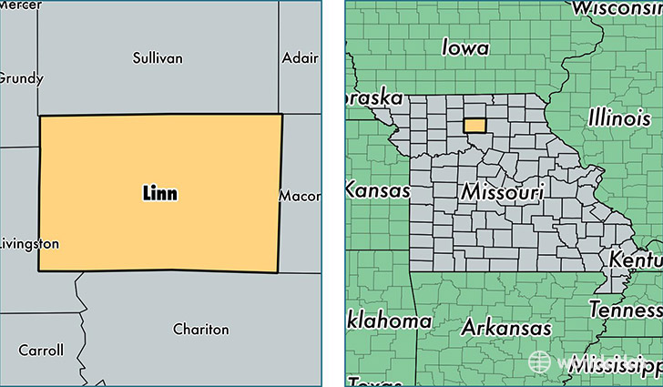
Linn County is a county equivalent area found in Missouri, USA. The county government of Linn is found in the county seat of Linneus.
With a total 1,609.36 sq. km of land and water area, Linn County, Missouri is the 1666th largest county equivalent area in the United States. Home to 12,311 people, Linn County has a total 6362 households earning 38250 on average per year.
Linn County, Missouri - Quick Facts
| FIPS Code | 29115 |
| Area Codes | 660 |
| Time Zone | CST |
| Major Cities | Brookfield (population: 6,010), Marceline (population: 3,204), Meadville (population: 943), Bucklin (population: 886), Linneus (population: 672), Browning (population: 588), Laclede (population: 557), Purdin (population: 418), New Boston (population: 286), Sumner (population: 187) |
| Land Area | 4,753 sq miles |
| Water Area | 615 sq miles |
| Household Income | $38,250 |
| Housing Units | 6,362 |
| Median Home Value | $68,600 |
| High School Grads | 88% of population |
| Holders of Bachelors Degrees | 13% of population |
| Retail Spending | $9,230 per capita |
| Food & Accomodation Sales | $9,272 per capita |
This page was last updated on June 30, 2016.