Where is Adair County, Missouri?
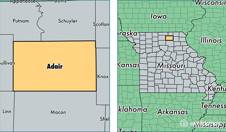
Adair County is a county equivalent area found in Missouri, USA. The county government of Adair is found in the county seat of Kirksville.
With a total 1,474.83 sq. km of land and water area, Adair County, Missouri is the 1934th largest county equivalent area in the United States. Home to 25,602 people, Adair County has a total 11264 households earning 34733 on average per year.
Adair County, Missouri - Quick Facts
| FIPS Code | 29001 |
| Area Codes | 660 |
| Time Zone | CST |
| Major Cities | Kirksville (population: 21,510), Greentop (population: 1,703), Novinger (population: 1,418), Brashear (population: 804), Gibbs (population: 149) |
| Land Area | 9,885 sq miles |
| Water Area | 567 sq miles |
| Household Income | $34,733 |
| Housing Units | 11,264 |
| Median Home Value | $102,600 |
| High School Grads | 87% of population |
| Holders of Bachelors Degrees | 28% of population |
| Retail Spending | $12,590 per capita |
| Food & Accomodation Sales | $38,667 per capita |
This page was last updated on June 30, 2016.