Where is Livingston County, Missouri?
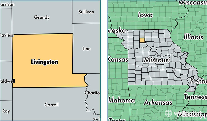
Livingston County is a county equivalent area found in Missouri, USA. The county government of Livingston is found in the county seat of Chillicothe.
With a total 1,394.86 sq. km of land and water area, Livingston County, Missouri is the 2047th largest county equivalent area in the United States. Home to 15,053 people, Livingston County has a total 6713 households earning 40116 on average per year.
Livingston County, Missouri - Quick Facts
| FIPS Code | 29117 |
| Area Codes | 660 |
| Time Zone | CST |
| Major Cities | Chillicothe (population: 12,308), Wheeling (population: 541), Dawn (population: 514), Chula (population: 509), Mooresville (population: 346), Utica (population: 268), Ludlow (population: 237) |
| Land Area | 5,812 sq miles |
| Water Area | 532 sq miles |
| Household Income | $40,116 |
| Housing Units | 6,713 |
| Median Home Value | $98,500 |
| High School Grads | 87% of population |
| Holders of Bachelors Degrees | 18% of population |
| Retail Spending | $16,582 per capita |
| Food & Accomodation Sales | $17,366 per capita |
This page was last updated on June 30, 2016.