Where is Macon County, Missouri?
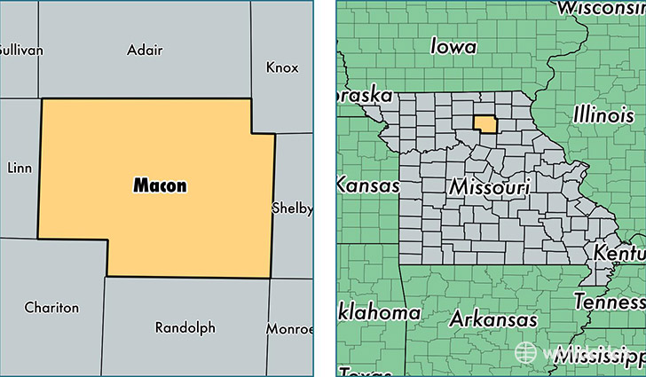
Macon County is a county equivalent area found in Missouri, USA. The county government of Macon is found in the county seat of Macon.
With a total 2,104.03 sq. km of land and water area, Macon County, Missouri is the 1150th largest county equivalent area in the United States. Home to 15,479 people, Macon County has a total 7596 households earning 38443 on average per year.
Macon County, Missouri - Quick Facts
| FIPS Code | 29121 |
| Area Codes | 660 |
| Time Zone | CST |
| Major Cities | Macon (population: 7,929), La Plata (population: 2,742), Bevier (population: 1,322), Atlanta (population: 868), Callao (population: 804), New Cambria (population: 738), Excello (population: 616), Jacksonville (population: 571), Anabel (population: 334), Elmer (population: 283) |
| Land Area | 5,976 sq miles |
| Water Area | 801 sq miles |
| Household Income | $38,443 |
| Housing Units | 7,596 |
| Median Home Value | $83,600 |
| High School Grads | 86% of population |
| Holders of Bachelors Degrees | 15% of population |
| Retail Spending | $10,118 per capita |
| Food & Accomodation Sales | $15,206 per capita |
This page was last updated on June 30, 2016.